
All services
Find the survey your land needs
Baseline Survey
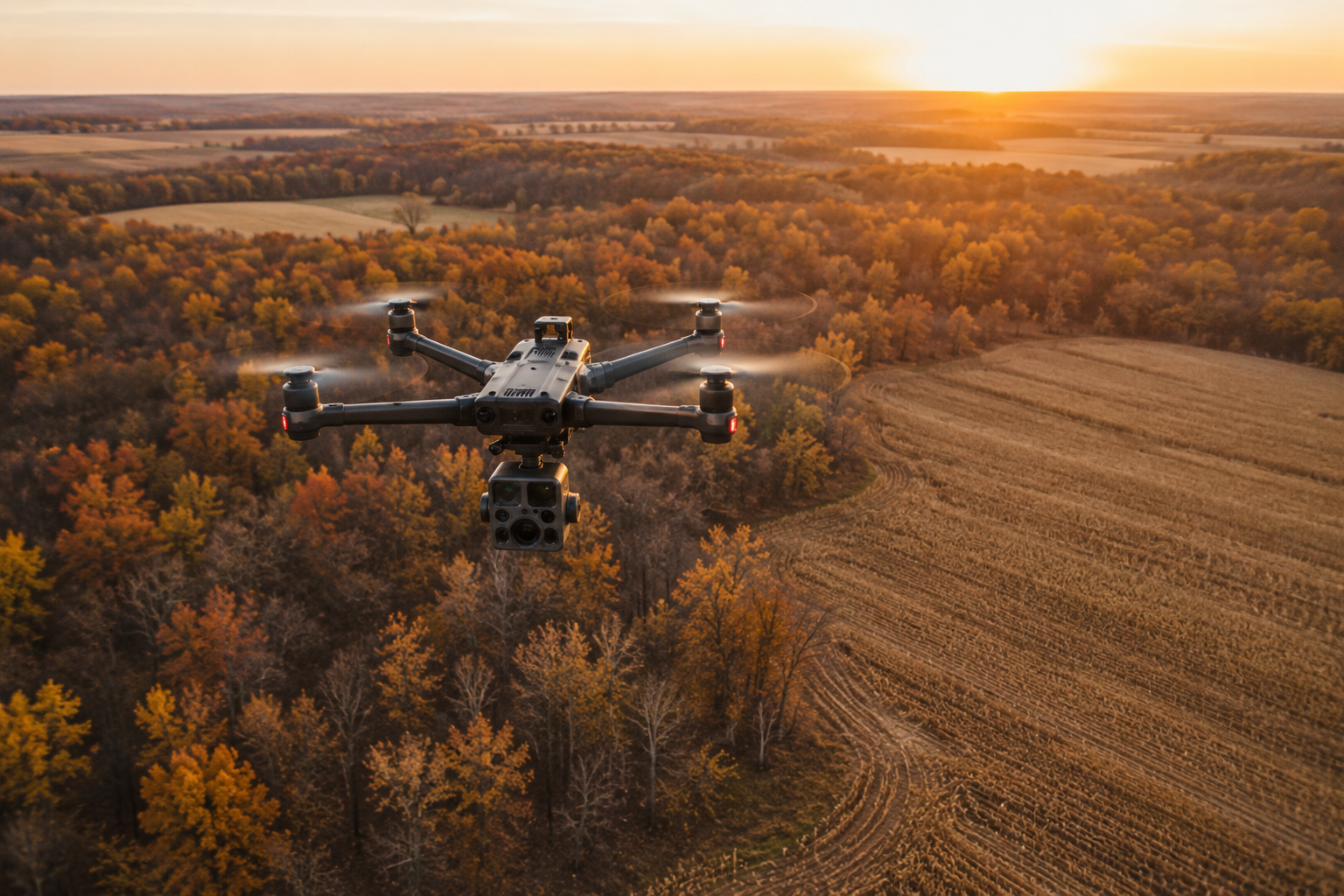
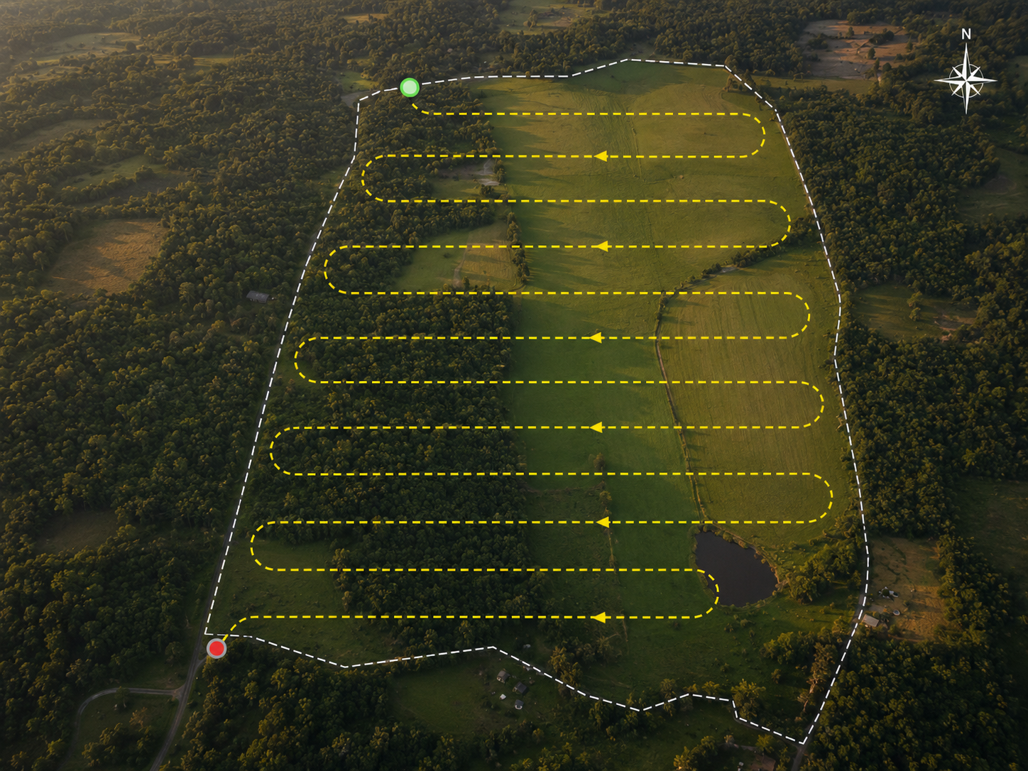
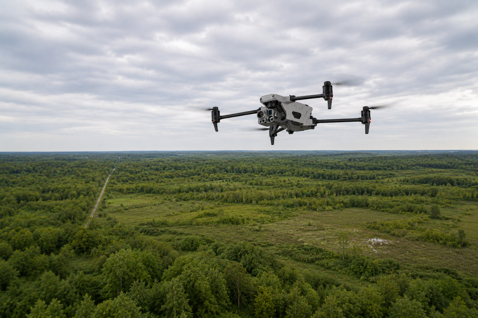
A baseline survey is the right starting point for any landowner who wants to stop guessing. In a single flight, timed to the season that best answers your question, we document the herd on your property — counts, buck-to-doe ratio, age structure, and how the animals use your land — and deliver it as a full report with a GPS-mapped sighting layer. It's the first real picture of what's actually out there.
Annual Stewardship Program
The annual stewardship program is for landowners who want to understand their herd across the seasons, not in a single snapshot. We survey your property two to four times a year, each flight timed to the question that season answers best, and tie it together in a year-end report. Year over year, the data shows how the herd is trending and how your land is responding — the story trail cameras can't tell.
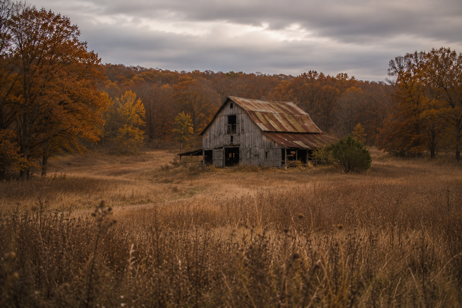
Pre-Purchase Land Inspection
Before you close on a property, a pre-purchase inspection tells you what's actually on the land — herd numbers, buck-to-doe ratio, predator activity, and habitat condition. It's built for the timeline of a purchase decision, with a fast turnaround, and it's especially valuable for out-of-state buyers who can't easily scout the property themselves. You get an honest, independent read before you sign.
Agency Contracting
We provide survey and monitoring services for state, federal, and county agencies, conservation districts, and tribal lands, delivered to agency reporting standards with the compliance and insurance these contracts require. In Minnesota, that includes CWD management support — population density, movement patterns, and post-cull verification in affected deer permit areas. Procurement officers and agency partners can request a scoped proposal.
Herd Enhancement Program for Land Investors
The Herd Enhancement Program is built for land investors improving a property over time. We provide the survey and data backbone of the effort — a detailed baseline, then year-over-year surveys tracking how the herd responds as habitat work takes hold. The result is a measurably stronger herd, documented as verifiable proof of value when it's time to sell.
Lost Pet/Livestock
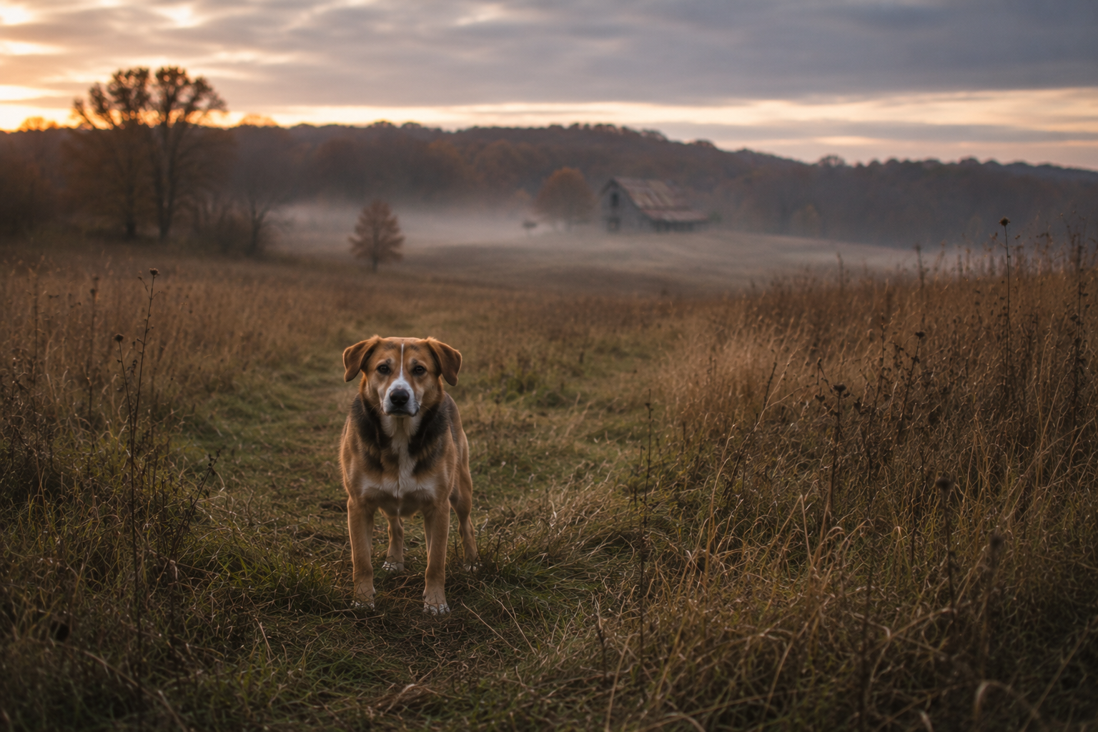
When a pet or animal goes missing, a thermal drone can search acres of field and cover in minutes, picking up the body heat of an animal that's hiding, injured, or simply lost. We can't promise every search ends the way we'd all want, but we bring the right equipment, the right conditions, and real urgency to every one. It's a fully licensed, insured operation — not a hobbyist with a drone.
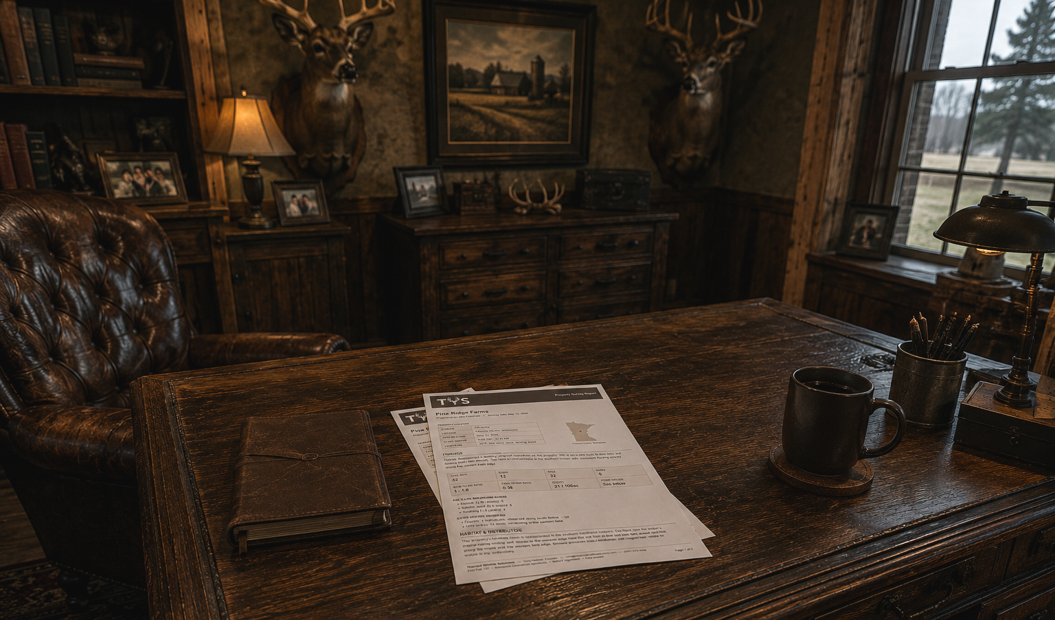
What You’ll Receive
Every survey ends with a written report — population counts, buck-to-doe ratio, age class breakdown, any predator activity, and habitat observations, all mapped to where the animals were actually using the land. The findings section gives you the numbers. The field notes section gives you what the numbers mean — a plain-language read of what we saw, what we think it tells you about the herd, and what's worth paying attention to going forward.
Part of that process is listening before we fly. Most landowners have years of observation on their property — stands that have always produced, areas the deer avoid, patterns that show up every season without fail. That knowledge doesn't get set aside when the drone goes up. It shapes how we interpret what we find, and it's often what makes the data make sense. The drone confirms things, challenges things, and occasionally explains things that never had an explanation before.
Every report also includes CWD management zone status in your state and any visible signs noted during the survey. What you get is a complete picture of your property — built on what you already know, and what the survey adds to it.