
The benefits
Here's what we're really after. Hunters and landowners have always been the people who care most about wildlife — but they've rarely had a clear, accurate picture of everything that’s on their ground in a given season: the herd, how it's doing, how it uses the land through the seasons. We give them that picture with our drone surveys, so they can make better decisions for the deer and the habitat both. We're woodsmen first — the drone is just a tool, and it helps put the puzzle pieces together with the other information we already have about our woods. Used right, it can help heard balance through buck/doe ratios and we can help regenerate some of the habitat we've taken from these animals over the years.
Two reasons why drone surveys can be a great tool to land/herd development:
Professional grade drones don't spook the animals the way low quality drones, planes, and helicopters do. Aircraft and economy drones are loud and fly low — deer hear them coming and run. By the time anyone's counting, the herd is scattered, bunched up, stressed, or already gone. A drone flown at our survey height is quiet enough that the deer carry on like it isn't there.
We believe woodsmanship is the master of all. However, time in the woods means you’re educating the herd and encroaching on their homes dropping scent along the way. The less pressure/disturbance the better chance you have of a low stress and healthy environment to create a quality herd. A professional drone has camera equipment that allows us to fly at undetected heights. We can get you data while keeping zero disturbance methodology.
These two main things change what we can actually observe. Doe stay with their fawns, so we get a real read on fawn recruitment — one of the most important measures of herd health there is. Visual CWD is easier to detect. Bucks stay in their natural bedding and feeding areas where they really are, so the survey shows the truth instead of where an aircraft or foot survey chased them.
It isn't only better data — it's better for the animals. A survey shouldn't stress the herd you're trying to help. Ours doesn't.
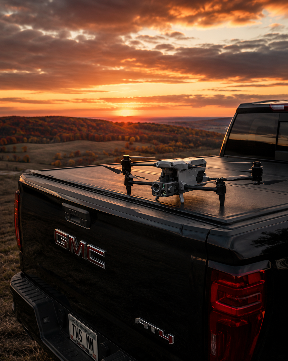
How we operate
A real, professional operation
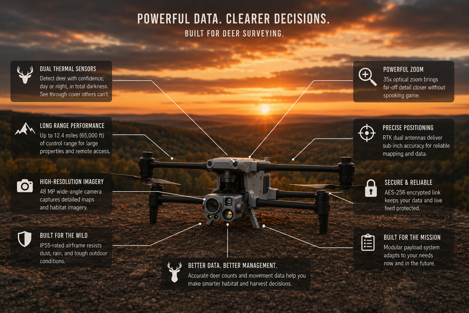
We fly the Autel Alpha dual thermal camera system - professional grade equipment built for dense military and law enforcement operations.
Zoom camera provides 35× optical and 560× digital magnification capability.
Dual thermal sensors output clear 640 × 512 industrial thermal imaging.
Wind resistance up to 30mph, Operable in most weather conditions
360-degree obstacle detection improves situational awareness in complex areas.
Based near Maple Grove, serving landowners across the Midwest.
Veteran and First Responders: thank you for your service. Take 10% off ours
If the way we think about land, wildlife, and fair chase lines up with yours, We look forward to working with you.