
Baseline Survey
Overview:
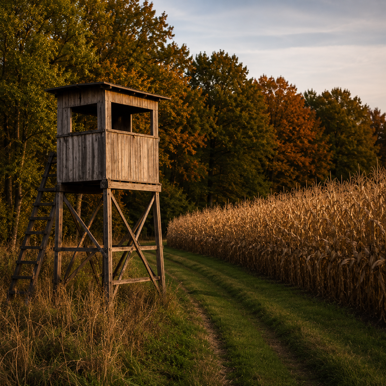
A baseline survey is the starting point — for any landowner who wants to stop guessing and start managing with real data. In one flight, timed to the season that best answers your question, we document what's actually living on your property: total herd counts, buck-to-doe ratios, fawn recruitment, age structure where the data supports it, and how the animals are using your land. Thermal imaging detects 90 to 95% of the wildlife in the survey area — three to four times what a trail camera or a season of glassing will show you.
It's the right first step before a harvest plan, after a property purchase, ahead of a conservation program application, or simply when you want to know your ground at a level you never have before.
What you receive:
A full written survey report — population counts, demographics, density, habitat usage, and management recommendations
A GPS-mapped sighting layer you can open in Google Earth, OnX, or any mapping tool and keep using
Curated thermal and optical video of the notable animals on your property
A 30-minute consultation call to walk through the findings together
What makes our survey different: We're woodsmen first. Anyone with a drone can hand you a count — we hand you an interpretation, read through traditional woodsmanship and delivered with honest reporting. If your buck-to-doe ratio needs work or fawn recruitment is low, you'll hear it straight. And whatever we find on your land belongs to you — we don't share it, sell it, or aggregate it.
Pricing — based on property size:
Up to 200 acres — $2,500
Over 200 acres — Send us a message for a custom estimate
Travel within 50 miles of Maple Grove is included. Every survey starts with a conversation — we'll give you an exact quote for your property before you commit.